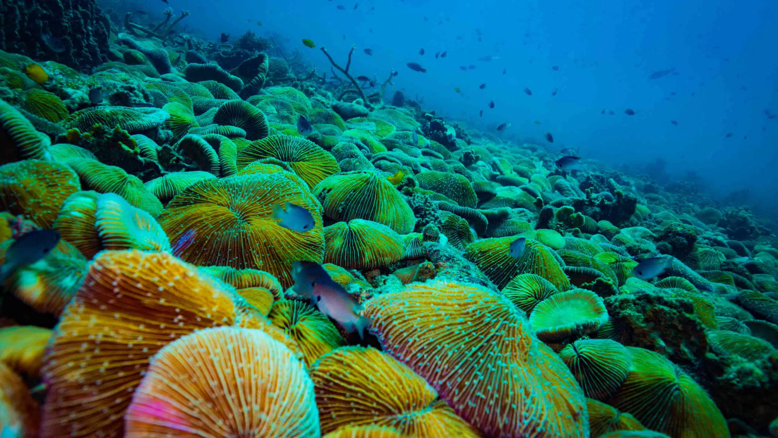
Koh Wao
A protected marine site in the Ang Thong National Marine Park known for shallow coral gardens and diverse reef fish.
Visit during the morning to ensure clear water visibility.
Koh Samui's coastline spans 50 kilometers, but fewer than a dozen sites offer consistent visibility and healthy coral. Knowing which bay matches your skill level and which reefs require boat transfer determines whether you return with footage or frustration.
Quick answer
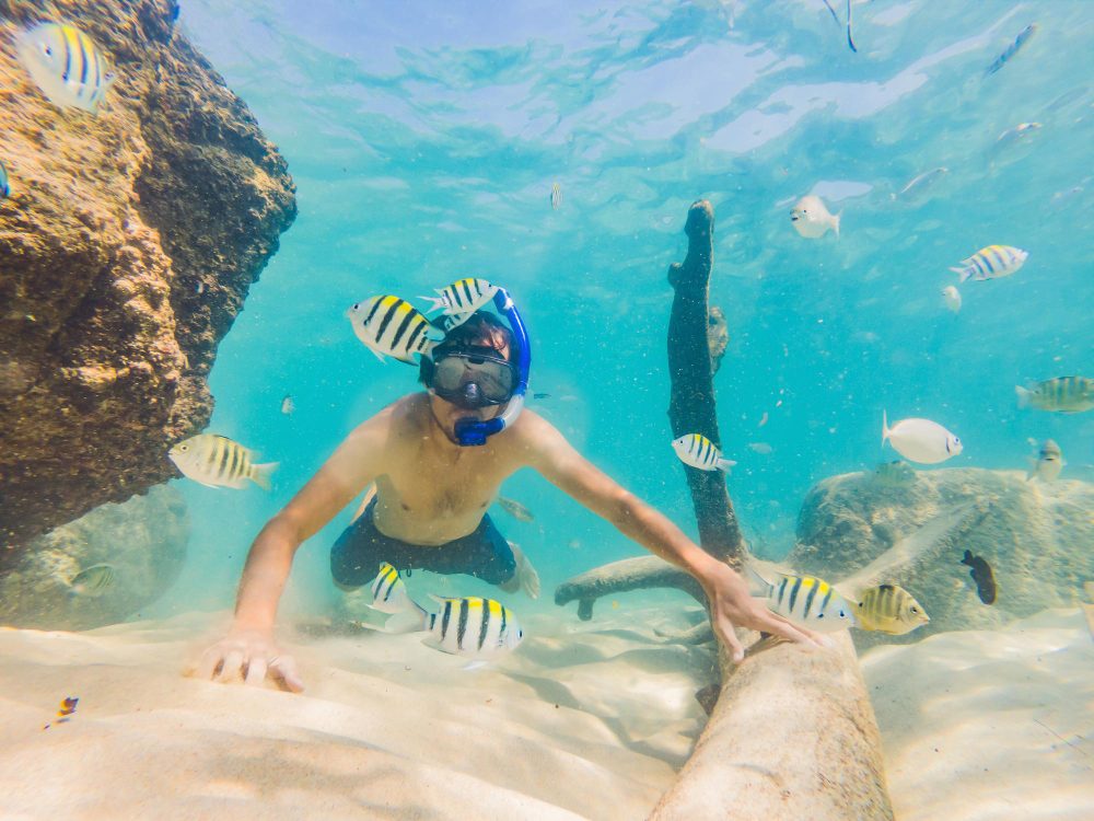
The primary snorkeling sites around Koh Samui cluster along the island's eastern and southern coasts—Chaweng, Coral Cove, Silver Beach, and Laem Set—while the offshore marine parks of Ang Thong and Koh Tao lie 20 to 40 nautical miles northwest and require chartered longtail or speedboat access. Reef depth ranges from 2 to 12 meters, visibility peaks between February and September, and conservation fees apply at protected zones.
Koh Samui sits in the western Gulf of Thailand, where seasonal monsoons and tidal exchange shape underwater clarity more than latitude. The island's eastern shore—Chaweng and Lamai—faces open water and suffers swell during November through January, turning visibility murky and currents unpredictable. The southern bays—Laem Set, Thong Krut, and the rocky point at Hin Ta Hin Yai—shelter granite boulders colonized by soft corals and sergeant majors, accessible by shore entry when the tide is slack. A koh samui snorkeling map worth consulting separates wade-in sites from boat-dependent reefs. Coral Cove, tucked between Chaweng and Lamai, offers the island's most concentrated hard coral within swimming distance of the beach, but the entry is rocky and the site crowded by midday. Silver Beach to the north requires a short kayak or longtail ride and rewards the effort with schooling fusiliers and occasional hawksbill turtle sightings over seagrass beds. The offshore islands—Koh Taen, Koh Mudsum, and the 42 limestone karsts of Ang Thong National Marine Park—demand half-day or full-day charters, with the park enforcing a 300-baht conservation levy per foreign adult. Marine life distribution follows substrate type. Boulder fields attract parrotfish, triggerfish, and moray eels; seagrass meadows host pipefish and juvenile rays; the few surviving table corals in depths below eight meters shelter clownfish and damselfish colonies. Seasonal plankton blooms reduce visibility but draw manta rays and whale sharks to deeper channels between March and May. Most operators provide reef-safe guidance, though enforcement remains inconsistent. The practical choice hinges on your surface interval and comfort in current. If you prefer sandy entries and shallow coral gardens, the southern bays deliver without the need for a captain. If you're chasing pelagic species or pristine hard coral, budget the transit time and the park fees—the underwater geography offshore justifies both.
“Reef depth ranges from 2 to 12 meters, and visibility peaks between February and September when monsoonal currents settle.”
The most favorable period for snorkeling near Koh Samui occurs from late January to April, when sea conditions are calmest and underwater visibility is at its peak. To maintain clear visibility and avoid peak congestion, prioritize the recommended arrival window of 08:00–16:00.
Dry season, 28–32°C
Clear, calm waters offer the highest underwater visibility for spotting marine life.
Hot with occasional rain, 30–33°C
Conditions remain generally favorable, though transition periods can bring short, localized rain showers.
—
Arriving within the best arrival window of 08:00–16:00 helps avoid mid-day heat and large groups.
Monsoon season, 25–29°C
Strong winds and rough seas often reduce water clarity and may limit boat accessibility.
Verdict: For the clearest water and fewest crowds, plan your visit between February and April, aiming for an arrival between 08:00 and 16:00.
Exploring the snorkeling zones around Koh Samui requires identifying reefs and marine areas protected within the Gulf of Thailand. Use this guide to locate specific sites suitable for observation and underwater activity.
A protected marine site in the Ang Thong National Marine Park known for shallow coral gardens and diverse reef fish.
Visit during the morning to ensure clear water visibility.
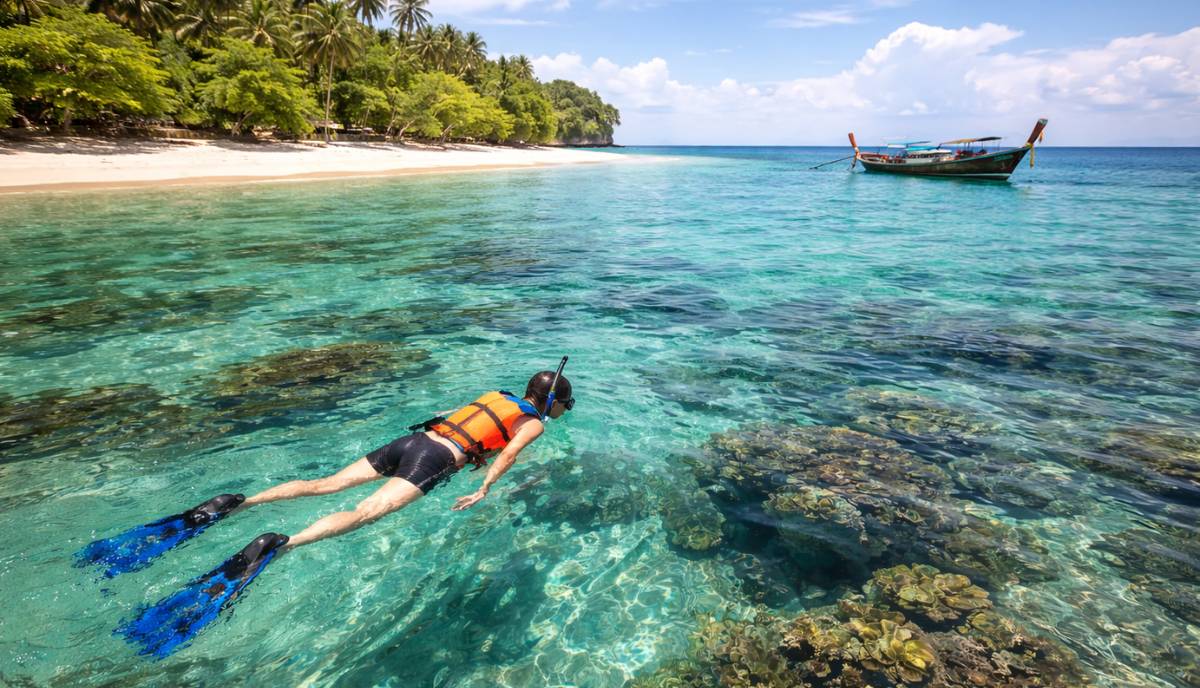
Known as Pig Island, this location offers accessible shore snorkeling along its southern coral patches.
Swim past the pier to reach the healthiest reef sections.
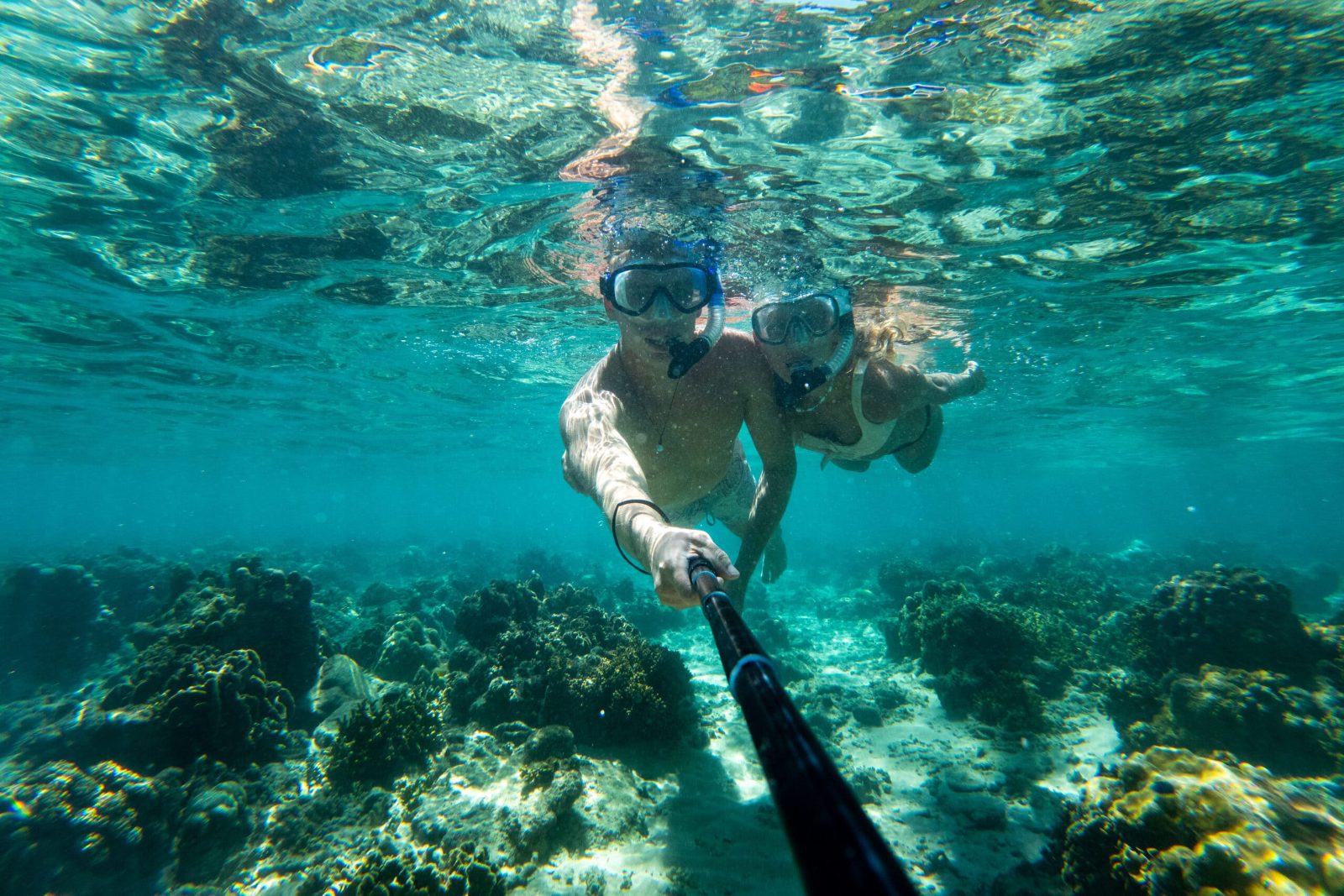
A protected reef zone located south of Koh Samui featuring vibrant fan corals and massive sea anemones.
Follow the marked buoys to find the most intact coral colonies.
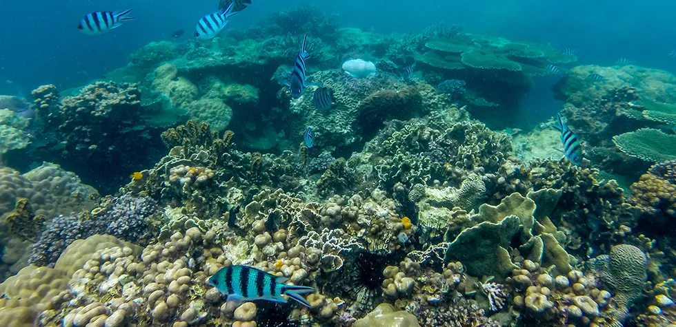
Located near Koh Tao, this area features the Japanese Garden site with calm, shallow waters and significant biodiversity.
Avoid peak ferry hours to experience the site without crowds.
Mu Ko Ang Thong National Marine Park is situated in the Gulf of Thailand, northwest of Koh Samui. Access is exclusively via boat from designated piers on Koh Samui, typically Nathon or Maenam.
Public ferry from Nathon Pier to Ang Thong
Speedboat tour from Maenam or Nathon
Local transport to Nathon Pier
Plan your arrival within the best arrival window of 08:00–16:00 to ensure sufficient time for boat transit and park activities while avoiding peak mid-day heat.
The areas included in the Koh Samui snorkeling map, specifically within Mu Ko Ang Thong National Marine Park, operate on a consistent daily schedule.
Pack the right gear and documents to make the most of your snorkeling day around Koh Samui's mapped sites.
Everything you need to know about koh samui snorkeling map
You can view a comprehensive koh samui snorkeling map at our visitor center or download the digital version from our official guide. It highlights key coral reefs and protected zones across the archipelago.
Yes, visiting Mu Ko Ang Thong National Marine Park requires adherence to environmental regulations designed to protect delicate ecosystems. You must pay a conservation fee upon entry to support these preservation efforts.
Pack high-quality gear, sun protection, and plenty of water for your snorkeling adventure. Having a physical or digital koh samui snorkeling map helps you identify the best shallow-water spots and reef formations.
A good reef chart displays depth levels, current strength, and boat mooring points. Always check the current status on your koh samui snorkeling map before entering the water.
Always remain within designated swimming areas and avoid touching any coral or marine life. Local guides provide briefings to ensure your safety while interacting with the underwater environment.
We recommend arriving between 08:00 and 16:00 to avoid mid-day heat and ensure you have sufficient time for boat transit. Planning your trip within this window guarantees a more comfortable experience.
Most mobile devices allow you to save maps for offline use, which is recommended when traveling between remote islands. Ensure your device is fully charged before departing on your boat excursion.
The entrance fee is 300 THB per foreign adult. This conservation fee is collected to maintain the park and support ongoing marine research in the Gulf of Thailand.
Best Snorkeling Spots in Koh Samui
Read more GuideKoh Samui Snorkeling Prices
Read more GuideSnorkeling in Koh Samui with Kids
Read more GuideWhere to See Sea Turtles Snorkeling
Read more Tickets & toursPrivate Snorkeling Tours in Koh Samui
Read more Tickets & toursHalf-Day Snorkeling Trips
Read more